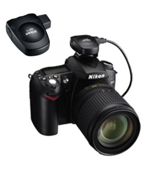
Nikon GP1 ( GPS )
Key Features :
- Geotag (image positioning information of pictures such as latitude, longitude [Geodetic System WGS84]) can be added to the image.
- Correlation between pictures and maps is supported by GPS function in conjunction with ViewNX version 1.2 software (no-charge download) and my Picturetown.
Technical Specifications :
Acquired data: Latitude, longitude, altitude, time information
Time required for satellite acquisition: Approx. 45 sec. (cold start), approx. 5 sec. (hot start)
Power source: Supplied from camera body
Receiving indicators:
- Red blinking (GPS data not recorded)
- Green blinking (GPS data recorded utilizing three satellites)
- Green solid (Four or more satellites detected, GPS data are more accurate)
Compatible models:D90 (via accessory terminal cable GP1-CA90), D3, D300, D700, D2Xs and D200 (via 10-pin remote terminal cable GP1-CA10). Some models may require an update to the latest version of firmware.
Attachment: Attaches to camera’s accessory shoe or a camera strap via strap adapter GP1-CL1
Dimensions: Approx. 2 x 1.8 x 1 inches
- GP1-CA90 for connection to the D90
- GP1-CA10 for connection to the 10-pin remote terminal of supported cameras
- Strap adapter GP1-CL1


